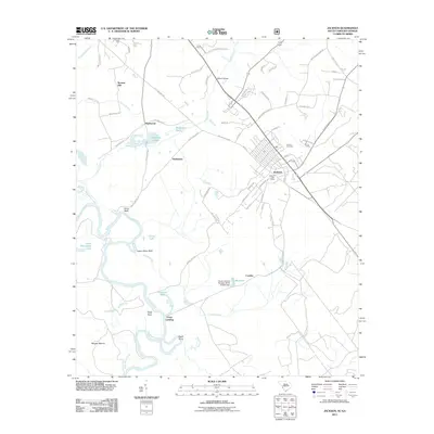
2011 Map of Jackson
USGS Topo · Published 2011About this map
The Savannah River defines the western edge of this territory, where the landscape transitions from the river bottomlands of Eagle Point and Lower Silver Bluff to the residential street grids of Jackson. This 2011 survey captures the area as modern infrastructure meets long-standing rural landmarks, such as the Jackson Cemetery and the Jackson Post Office. The drainage patterns are clearly visible, with Hollow Creek and its many branches like Curry Branch carving through the terrain near Browns Hill.
Find a feature on this map
69 named features on this map. Tap any name to fly to it.
Don’t see what you’re looking for? This feature index may not catch every label — zoom into the map to look around manually.
Map Details
Editions of this 2011 Jackson Map
This is the sole edition of this map. No revisions or reprints were ever made.
Other maps of this area

1920 · Ellenton
USGS Topo · 1:48,000

1920 · Greens Cut
USGS Topo · 1:62,500

1920 · Talatha
USGS Topo · 1:48,000

1921 · Augusta
USGS Topo · 1:62,500

1921 · Talatha
USGS Topo · 1:62,500

1921 · Ellenton
USGS Topo · 1:62,500

1943 · Greens Cut
USGS Topo · 1:62,500

1943 · Augusta East
USGS Topo · 1:125,000

1943 · Talatha
USGS Topo · 1:62,500

1943 · Augusta
USGS Topo · 1:62,500