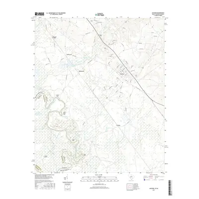
2017 Map of Jackson
USGS Topo · Published 2017About this map
The Savannah River corridor at the Georgia-South Carolina border defines this landscape, where the shifting river channel has created a complex network of wetlands and backwaters. Notable hydrologic features include the Holmes Dead River, Berryhill Gut, and Wasteway Pond, alongside larger bodies like Coleman Lake and House Lake. The map highlights the historic importance of the river bluffs, specifically Silver Bluff and Lower Silver Bluff, which overlook the floodplain near the Richmond Co and Aiken Co boundary.
Find a feature on this map
83 named features on this map. Tap any name to fly to it.
Don’t see what you’re looking for? This feature index may not catch every label — zoom into the map to look around manually.
Map Details
Editions of this 2017 Jackson Map
This is the sole edition of this map. No revisions or reprints were ever made.
Other maps of this area

1920 · Ellenton
USGS Topo · 1:48,000

1920 · Greens Cut
USGS Topo · 1:62,500

1920 · Talatha
USGS Topo · 1:48,000

1921 · Augusta
USGS Topo · 1:62,500

1921 · Talatha
USGS Topo · 1:62,500

1921 · Ellenton
USGS Topo · 1:62,500

1943 · Greens Cut
USGS Topo · 1:62,500

1943 · Augusta East
USGS Topo · 1:125,000

1943 · Talatha
USGS Topo · 1:62,500

1943 · Augusta
USGS Topo · 1:62,500