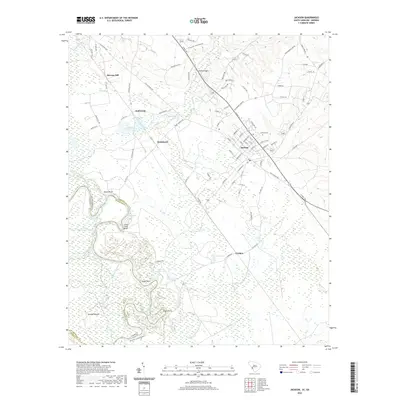
2020 Map of Jackson
USGS Topo · Published 2020About this map
The Savannah River defines the state boundary between Georgia and South Carolina in this 2020 record of the region south of Augusta. The landscape is marked by the shifting path of the river, which has left behind various hydrological features like Holmes Dead River, High Bank Slough, and Little Brierpatch Lake. On the South Carolina side, the town of Jackson is the primary settlement, supported by a network of roads such as Atomic Rd and Old Jackson Hwy. The river's edge features several named bluffs and points, including Silver Bluff and Eagle Point, while the presence of Rhodes Mound suggests a deep history of human activity along these banks. North of Jackson, smaller locales like Kathwood and Hankinson are situated near Kathwood Lakes and the drainage of Hollow Cr.
Find a feature on this map
95 named features on this map. Tap any name to fly to it.
Don’t see what you’re looking for? This feature index may not catch every label — zoom into the map to look around manually.
Map Details
Editions of this 2020 Jackson Map
This is the sole edition of this map. No revisions or reprints were ever made.
Other maps of this area

1920 · Ellenton
USGS Topo · 1:48,000

1920 · Greens Cut
USGS Topo · 1:62,500

1920 · Talatha
USGS Topo · 1:48,000

1921 · Augusta
USGS Topo · 1:62,500

1921 · Talatha
USGS Topo · 1:62,500

1921 · Ellenton
USGS Topo · 1:62,500

1943 · Greens Cut
USGS Topo · 1:62,500

1943 · Augusta East
USGS Topo · 1:125,000

1943 · Talatha
USGS Topo · 1:62,500

1943 · Augusta
USGS Topo · 1:62,500