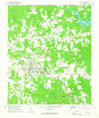
1964 Map of Jackson
USGS Topo · Published 1965About this map
Jackson serves as the focal point of this mid-1960s survey, showing a well-established infrastructure including a Hospital, Armory, and Henderson High Sch. To the east, the industrial character of Pepperton is visible alongside the Southern railroad line, while the southern portion of the sheet is dominated by the recreational and natural landscape of Indian Springs State Park and its accompanying Indian Springs Campground.
Find a feature on this map
44 named features on this map. Tap any name to fly to it.
Don’t see what you’re looking for? This feature index may not catch every label — zoom into the map to look around manually.
Map Details
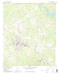
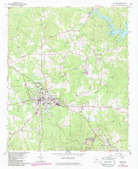
Editions of this 1964 Jackson Map
3 editions found
Other maps of this area

1951 · Forsyth
USGS Topo · 1:62,500

1951 · Barnesville
USGS Topo · 1:62,500

1953 · Atlanta
USGS Topo · 1:250,000

1953 · Athens
USGS Topo · 1:250,000

1957 · Atlanta
USGS Topo · 1:250,000

1958 · Athens
USGS Topo · 1:250,000

1958 · Atlanta
USGS Topo · 1:250,000

1959 · Athens
USGS Topo · 1:250,000

1963 · Athens
USGS Topo · 1:250,000

1964 · Lloyd Shoals Dam
USGS Topo · 1:24,000