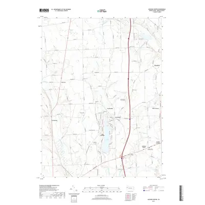
2019 Map of Jackson Center
USGS Topo · Published 2019About this map
Lake Latonka serves as a central geographic anchor for this part of Mercer County, surrounded by a network of smaller rural communities and historic burial sites. The landscape is defined by the drainage systems of the Little Shenango River and Neshannock Creek, which historically influenced the placement of early settlements like Fairview, Jackson Center, and North Mills. Genealogists will find a high concentration of established cemeteries, including the Amish Cem and Jackson Center Presbyterian Cem, reflecting the diverse religious heritage of the area. Small aviation and athletic landmarks such as Still Meadow Farm Airport and Ferrell Field appear alongside established crossroads like Five Points and Nesbit Corners, illustrating the evolution from a purely agricultural region to a mix of recreational and residential development.
Find a feature on this map
113 named features on this map. Tap any name to fly to it.
Don’t see what you’re looking for? This feature index may not catch every label — zoom into the map to look around manually.
Map Details
Editions of this 2019 Jackson Center Map
This is the sole edition of this map. No revisions or reprints were ever made.
Other maps of this area

1905 · Neshannock
USGS Topo · 1:62,500

1907 · Neshannock
USGS Topo · 1:62,500

1908 · Shenango
USGS Topo · 1:62,500

1911 · Stoneboro
USGS Topo · 1:62,500

1913 · Stoneboro
USGS Topo · 1:62,500

1913 · Mercer
USGS Topo · 1:62,500

1939 · Mercer
USGS Topo · 1:62,500

1943 · Mercer
USGS Topo · 1:62,500

1943 · Stoneboro
USGS Topo · 1:62,500

1950 · Cleveland
USGS Topo · 1:250,000
Featured Places
- Fairview Township, PA
- New Vernon Township, PA
- Jackson Center, PA
- Perry Township, PA
- Jackson Township, PA