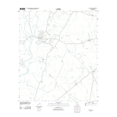
2012 Map of Jackson
USGS Topo · Published 2012About this map
Jackson serves as the central hub of this East Feliciana Parish landscape, characterized by a complex drainage system where Thompson Cr and McKowen Cr meet. The town's grid is dense with local history markers, including numerous family and community burial grounds such as Asphodel Cem and Scott Cem. Beyond the residential streets, the map reveals a countryside shaped by both aviation and industry, featuring the Jackson Airport and the Freeland Oil Field. Waterways like White Bayou and Black Cr wind through the terrain, connecting smaller outlying settlements such as McManus and Gurley. This 2012 survey illustrates a region where established small-town centers transition into a rural network of bayous and scattered homesteads, punctuated by landmarks like the Green Briar Cem and Evergreen Cem.
Find a feature on this map
94 named features on this map. Tap any name to fly to it.
Don’t see what you’re looking for? This feature index may not catch every label — zoom into the map to look around manually.
Map Details
Editions of this 2012 Jackson Map
This is the sole edition of this map. No revisions or reprints were ever made.
Other maps of this area

1906 · Bayou Sara
USGS Topo · 1:125,000

1939 · St. Francisville
USGS Topo · 1:62,500

1939 · Zachary
USGS Topo · 1:62,500

1941 · Norwood
USGS Topo · 1:31,680

1941 · Lost Creek
USGS Topo · 1:31,680

1945 · Norwood
USGS Topo · 1:31,680

1945 · Jackson
USGS Topo · 1:31,680

1945 · Lost Creek
USGS Topo · 1:31,680

1946 · Clinton
USGS Topo · 1:31,680

1954 · Zachary
USGS Topo · 1:24,000