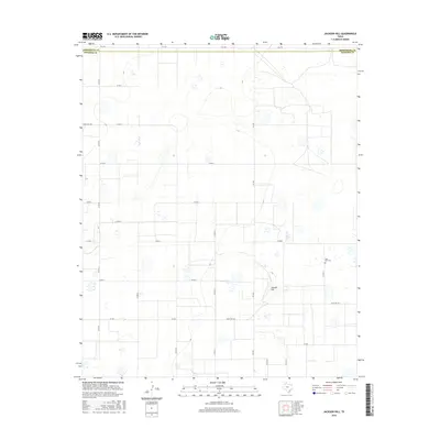
2016 Map of Jackson Hill
USGS Topo · Published 2016About this map
Jackson Hill rises as a prominent landmark in this segment of the Texas Panhandle, situated along the northern boundary of Swisher County. The landscape is defined by a systematic grid of ranch roads and farm-to-market routes, including FM 2301 and Ranch Rd 146, which serve the agricultural and livestock interests of the High Plains. Just south of the Armstrong Co line, the map documents the Vigo Park Cem, a vital site for local genealogical research in this sparsely populated region. The terrain is dotted with numerous small depressions and playas characteristic of the Llano Estacado, linked by thoroughfares such as Zulu Rd and Ranch Rd 1881. This 2016 survey captures the enduring rural structure of the area, where historical property divisions and county boundaries remain the primary points of orientation.
Find a feature on this map
24 named features on this map. Tap any name to fly to it.
Don’t see what you’re looking for? This feature index may not catch every label — zoom into the map to look around manually.
Map Details
Editions of this 2016 Jackson Hill Map
This is the sole edition of this map. No revisions or reprints were ever made.
Other maps of this area

1954 · Plainview
USGS Topo · 1:250,000

1958 · Plainview
USGS Topo · 1:250,000

1960 · Wayside
USGS Topo · 1:62,500

1963 · Pleasant Creek
USGS Topo · 1:24,000

1965 · Vigo Park
USGS Topo · 1:24,000

1965 · Cope Creek
USGS Topo · 1:24,000

1968 · Tule Lake
USGS Topo · 1:24,000

1969 · Love
USGS Topo · 1:24,000

1969 · Jackson Hill
USGS Topo · 1:24,000

1969 · Tule Lake NW
USGS Topo · 1:24,000