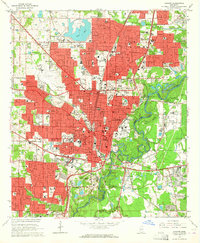
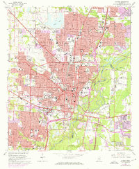
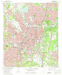
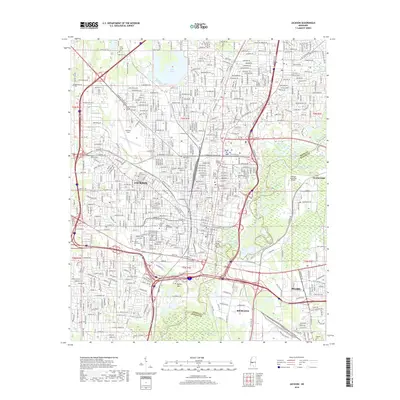
1963 Map of Jackson
USGS Topo · Published 1964About this map
The State Capitol stands at the heart of Mississippi’s capital city in the early 1960s, surrounded by a dense network of civic and educational institutions. This period finds Jackson as a significant hub for higher education and healthcare, anchored by Millsaps College, Belhaven College, and the sprawling Univ of Mississippi Medical Center. The city's growth is framed by the Pearl River to the east and the busy corridors of the Illinois Central and Gulf Mobile and Ohio railroads.
Find a feature on this map
98 named features on this map. Tap any name to fly to it.
Don’t see what you’re looking for? This feature index may not catch every label — zoom into the map to look around manually.
Map Details
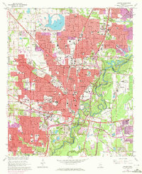
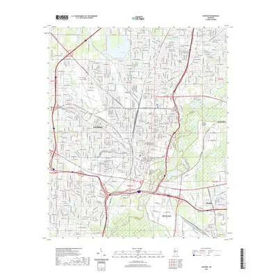
Editions of this 1963 Jackson Map
3 editions found
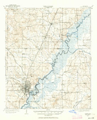
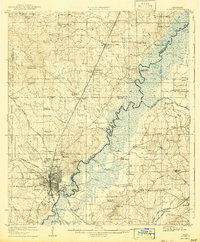
Historical Maps of Jackson Through Time
14 maps found
1905 Jackson
Hinds County, MS
1908 Jackson
Hinds County, MS

1955 Jackson
Hinds County, MS

1961 Jackson
Hinds County, MS

1962 Jackson
Hinds County, MS
1963 Jackson
Hinds County, MS
1980 Jackson
Hinds County, MS

1984 Jackson
Hinds County, MS

1998 Jackson
Hinds County, MS
2012 Jackson
Hinds County, MS
2015 Jackson
Hinds County, MS
2018 Jackson
Hinds County, MS
2020 Jackson
Hinds County, MS
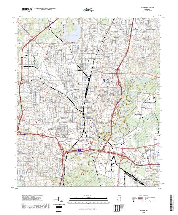
2024 Jackson
Hinds County, MS