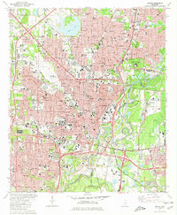
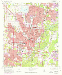
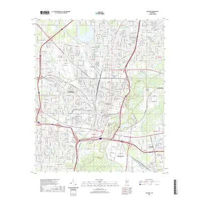
1980 Map of Jackson
USGS Topo · Published 1981About this map
Jackson dominates this landscape, showing a dense mid-century urban fabric defined by its role as a state capital and educational center. The map details the institutional heart of the city, from the State Capitol and Courthouse to campuses like Millsaps College and Jackson State Univ. The influence of the Illinois Central Gulf railroad is evident in the industrial and transit corridors that cut through the city, while Hawkins Field provides a look at early aviation infrastructure. The terrain is shaped by the Pearl River and its winding tributaries like Town Creek and Lynch Creek, which separate the core from the eastern developments of Pearl and Flowood. Numerous specialized institutions, such as the School for the Blind and the Carmelite Monastery, reflect the city's complex social and religious history during this era of growth.
Find a feature on this map
88 named features on this map. Tap any name to fly to it.
Don’t see what you’re looking for? This feature index may not catch every label — zoom into the map to look around manually.
Map Details
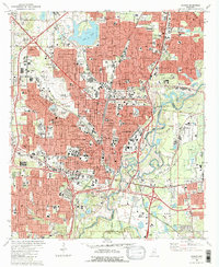
Editions of this 1980 Jackson Map
2 editions found
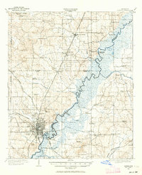
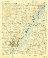
Historical Maps of Jackson Through Time
14 maps found
1905 Jackson
Hinds County, MS
1908 Jackson
Hinds County, MS

1955 Jackson
Hinds County, MS

1961 Jackson
Hinds County, MS

1962 Jackson
Hinds County, MS
1963 Jackson
Hinds County, MS
1980 Jackson
Hinds County, MS

1984 Jackson
Hinds County, MS

1998 Jackson
Hinds County, MS
2012 Jackson
Hinds County, MS
2015 Jackson
Hinds County, MS
2018 Jackson
Hinds County, MS
2020 Jackson
Hinds County, MS
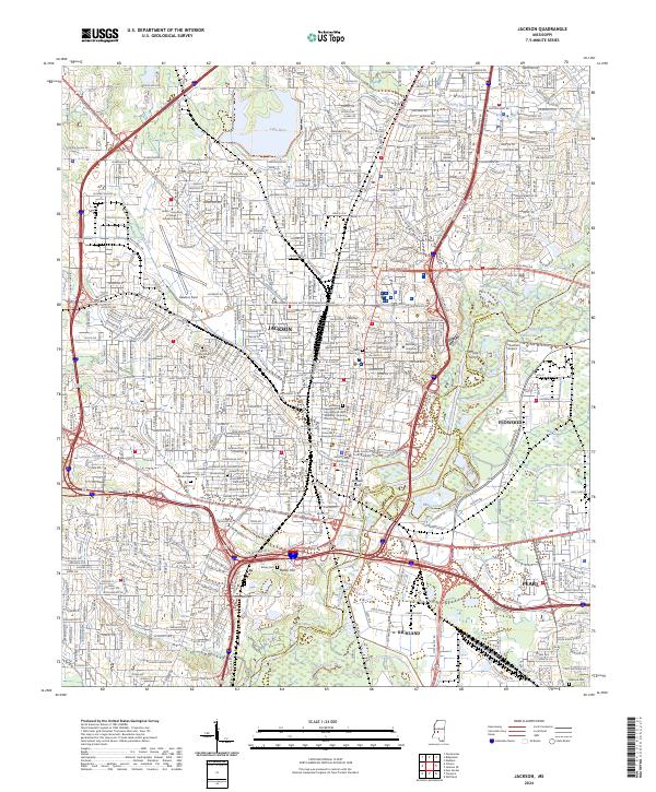
2024 Jackson
Hinds County, MS