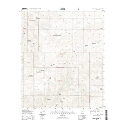
2014 Map of Jackson Mountain
USGS Topo · Published 2014About this map
The Santa Teresa Mountains dominate this 2014 survey of Graham County, defining a complex landscape of drainages and high-desert relief within the Coronado National Forest. This section of the range is characterized by a network of seasonal washes and canyons, including Goodwin Wash and Black Rock Wash to the north, which serve as primary conduits for water moving through the arid terrain. The map documents numerous isolated water sources critical to local ecology and historical land use, such as Crows Nest Spring, Kane Spring, and Preacher Spring.
Find a feature on this map
53 named features on this map. Tap any name to fly to it.
Don’t see what you’re looking for? This feature index may not catch every label — zoom into the map to look around manually.
Map Details
Editions of this 2014 Jackson Mountain Map
This is the sole edition of this map. No revisions or reprints were ever made.
Other maps of this area

1938 · Klondyke
USGS Topo · 1:48,000

1943 · Klondyke
USGS Topo · 1:62,500

1944 · Jackson Mtn.
USGS Topo · 1:62,500

1946 · Jackson Mtn.
USGS Topo · 1:62,500

1954 · Mesa
USGS Topo · 1:250,000

1956 · Tucson
USGS Topo · 1:250,000

1957 · Mesa
USGS Topo · 1:250,000

1958 · Mesa
USGS Topo · 1:250,000

1958 · Tucson
USGS Topo · 1:250,000

1959 · Tucson
USGS Topo · 1:250,000