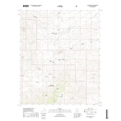
2018 Map of Jackson Mountain
USGS Topo · Published 2018About this map
The Santa Teresa Mountains dominate this landscape within the Coronado National Forest, where high peaks and deep drainage systems define the Graham County terrain. Water is the primary architect of the topography here, with prominent corridors like Goodwin Wash and Hackberry Canyon cutting through the high ground. The naming of features such as Preacher Canyon, Holdup Canyon, and Gardner Canyon suggests a history of cattle ranching and early travel through these mountain passes.
Find a feature on this map
54 named features on this map. Tap any name to fly to it.
Don’t see what you’re looking for? This feature index may not catch every label — zoom into the map to look around manually.
Map Details
Editions of this 2018 Jackson Mountain Map
This is the sole edition of this map. No revisions or reprints were ever made.
Other maps of this area

1938 · Klondyke
USGS Topo · 1:48,000

1943 · Klondyke
USGS Topo · 1:62,500

1944 · Jackson Mtn.
USGS Topo · 1:62,500

1946 · Jackson Mtn.
USGS Topo · 1:62,500

1954 · Mesa
USGS Topo · 1:250,000

1956 · Tucson
USGS Topo · 1:250,000

1957 · Mesa
USGS Topo · 1:250,000

1958 · Mesa
USGS Topo · 1:250,000

1958 · Tucson
USGS Topo · 1:250,000

1959 · Tucson
USGS Topo · 1:250,000