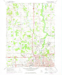
1970 Map of Jackson North
USGS Topo · Published 1978About this map
The northern reaches of Jackson are characterized by a dense concentration of civic and state institutions as they appeared in 1970. The massive Southern Michigan State Prison and its associated State Prison Farm dominate the eastern landscape, while the Reynolds Municipal Airport anchors the southwest corner near Woodville. This industrial and institutional corridor is balanced by rural patches in Tompkins, Rives, and Blackman townships, where family-named landmarks like Draper Cem and Jones Cem offer significant value for genealogical research.
Find a feature on this map
71 named features on this map. Tap any name to fly to it.
Don’t see what you’re looking for? This feature index may not catch every label — zoom into the map to look around manually.
Map Details
Editions of this 1970 Jackson North Map
2 editions found
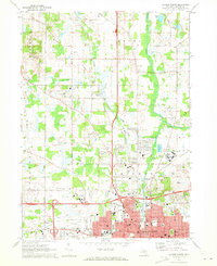
Other maps of this area

1919 · Springport
USGS Topo · 1:62,500

1919 · Rives Junction
USGS Topo · 1:62,500

1921 · Rives Junction
USGS Topo · 1:62,500

1921 · Springport
USGS Topo · 1:62,500

1935 · Jackson
USGS Topo · 1:48,000

1939 · Jackson
USGS Topo · 1:62,500

1948 · Spring Arbor
USGS Topo · 1:62,500

1949 · Spring Arbor
USGS Topo · 1:62,500

1958 · Grand Rapids
USGS Topo · 1:250,000

1961 · Grand Rapids
USGS Topo · 1:250,000
Featured Places
- Jackson, MI
- Woodville, MI
- Rives Township, MI
- Sandstone Charter Township, MI
- Blackman Charter Township, MI