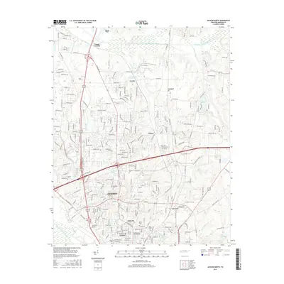
2016 Map of Jackson North
USGS Topo · Published 2016About this map
Jackson expands northward into a complex network of suburban developments and educational campuses in this 2016 study of Madison County. The landscape is defined by the intersection of major transit corridors and the meandering paths of the Middle Fork Forked Deer River and South Fork Forked Deer River. Academic centers such as Union Univ and Jackson State Community Coll anchor the central and southern portions of the sheet, while residential communities like Westwood Gardens and Hicksville show the density of the city's modern footprint.
Find a feature on this map
236 named features on this map. Tap any name to fly to it.
Don’t see what you’re looking for? This feature index may not catch every label — zoom into the map to look around manually.
Map Details
Editions of this 2016 Jackson North Map
This is the sole edition of this map. No revisions or reprints were ever made.
Other maps of this area

1950 · Jackson South
USGS Topo · 1:24,000

1950 · Jackson North
USGS Topo · 1:24,000

1951 · Jackson North
USGS Topo · 1:24,000

1953 · Claybrook
USGS Topo · 1:24,000

1953 · Beech Bluff
USGS Topo · 1:24,000

1956 · Blytheville
USGS Topo · 1:250,000

1959 · Medina
USGS Topo · 1:24,000

1959 · Blytheville
USGS Topo · 1:250,000

1959 · Westover
USGS Topo · 1:24,000

1959 · Adair
USGS Topo · 1:24,000