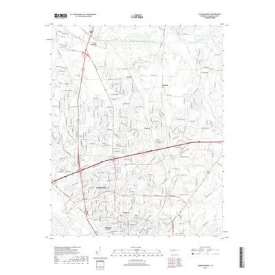
2019 Map of Jackson North
USGS Topo · Published 2019About this map
The city of Jackson serves as the focal point of this Madison County survey, showcasing the extensive suburban and industrial growth north of the historic downtown. The landscape is defined by the drainage basins of the Middle Fork Forked Deer River and South Fork Forked Deer River, with smaller tributaries like Moize Cr and Dyer Cr threading through the developed corridors. Genealogists and local historians will find several well-defined burial grounds across the quadrangle, including Hicks Cem in the northwest and the clustered Mount Olivet Cem and Mount Calvary Cem near the southern boundary. Significant infrastructure is evident at Youngs Crossing and Three Way, where major transport arteries converge. Industrial sites like the Construction Products Lake near Carroll provide insight into the local economy and land use during this contemporary era.
Find a feature on this map
234 named features on this map. Tap any name to fly to it.
Don’t see what you’re looking for? This feature index may not catch every label — zoom into the map to look around manually.
Map Details
Editions of this 2019 Jackson North Map
This is the sole edition of this map. No revisions or reprints were ever made.
Other maps of this area

1950 · Jackson South
USGS Topo · 1:24,000

1950 · Jackson North
USGS Topo · 1:24,000

1951 · Jackson North
USGS Topo · 1:24,000

1953 · Claybrook
USGS Topo · 1:24,000

1953 · Beech Bluff
USGS Topo · 1:24,000

1956 · Blytheville
USGS Topo · 1:250,000

1959 · Medina
USGS Topo · 1:24,000

1959 · Blytheville
USGS Topo · 1:250,000

1959 · Westover
USGS Topo · 1:24,000

1959 · Adair
USGS Topo · 1:24,000