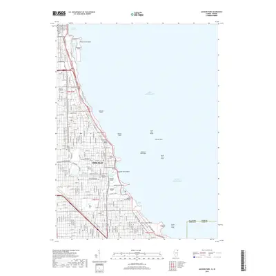
2018 Map of Jackson Park
USGS Topo · Published 2018About this map
The southern Lake Michigan shoreline of Chicago is defined here by its massive park systems and institutional corridors. The lakefront is a complex series of engineered landscapes, from Northerly Island and Burnham Park Harbor in the north down to the extensive lagoons of Jackson Park. This area serves as a significant educational hub, anchoring the University of Chicago and several specialized institutions like the Chicago Theological Seminary and the Illinois College of Optometry.
Find a feature on this map
102 named features on this map. Tap any name to fly to it.
Don’t see what you’re looking for? This feature index may not catch every label — zoom into the map to look around manually.
Map Details
Editions of this 2018 Jackson Park Map
This is the sole edition of this map. No revisions or reprints were ever made.
Other maps of this area

1889 · Chicago
USGS Topo · 1:62,500

1891 · Chicago
USGS Topo · 1:62,500

1892 · Calumet
USGS Topo · 1:62,500

1893 · Calumet
USGS Topo · 1:62,500

1900 · Chicago
USGS Topo · 1:62,500

1900 · Toleston
USGS Topo · 1:62,500

1900 · Calumet
USGS Topo · 1:62,500

1901 · Calumet
USGS Topo · 1:62,500

1901 · Chicago
USGS Topo · 1:62,500

1929 · Calumet Lake
USGS Topo · 1:24,000