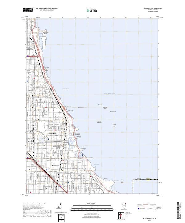
2024 Map of Jackson Park
USGS Topo · Published 2024About this map
Chicago's lakefront is defined by an intricate network of parks and scholarly institutions that stretch from the Burnham Park Harbor down to Jackson Park Beach. This coastal landscape is shaped by human engineering, from the landfill that created Northerly Island to the preserved lagoons of the Columbia Basin. Inland, the urban fabric is heavily marked by religious and educational history, featuring a dense cluster of divinity schools including the McCormick Theological Seminary, Catholic Theological Union, and the Chicago Theological Seminary. The southern end of the map reveals the somber grounds of Oak Woods Cem, which contains the Confederate Mound, a significant site for Civil War-era research. The alignment of S Lake Shore Dr and the Metra rail lines demonstrate the city's enduring reliance on the lakefront corridor for both transit and recreation, connecting the University of Chicago and the grand Midway Plaisance to the harbor and shoals of Lake Michigan.
Find a feature on this map
164 named features on this map. Tap any name to fly to it.
Don’t see what you’re looking for? This feature index may not catch every label — zoom into the map to look around manually.
Map Details
Editions of this 2024 Jackson Park Map
This is the sole edition of this map. No revisions or reprints were ever made.
Other maps of this area

1889 · Chicago
USGS Topo · 1:62,500

1891 · Chicago
USGS Topo · 1:62,500

1892 · Calumet
USGS Topo · 1:62,500

1893 · Calumet
USGS Topo · 1:62,500

1900 · Chicago
USGS Topo · 1:62,500

1900 · Toleston
USGS Topo · 1:62,500

1900 · Calumet
USGS Topo · 1:62,500

1901 · Calumet
USGS Topo · 1:62,500

1901 · Chicago
USGS Topo · 1:62,500

1929 · Calumet Lake
USGS Topo · 1:24,000