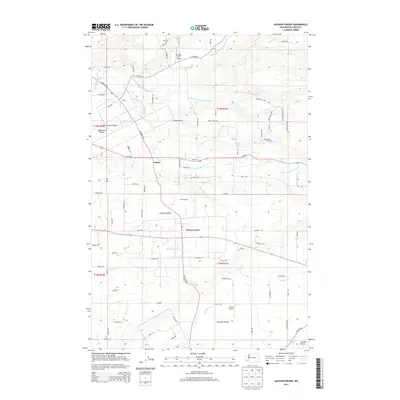
2013 Map of Jackson Prairie
USGS Topo · Published 2013About this map
The Newaukum River and its multiple forks define the landscape of Lewis County in this 2013 survey, where agricultural flats meet the low hills of the Pacific Northwest. Centered on the crossroads at Marys Corner, the map reveals a pattern of rural settlement organized around the historic Jackson Prairie and Lacamas Prairie. These distinct prairie openings in the timber provided fertile ground for generations of farmers, as seen in the density of local roads like Guerrier Rd and Tauscher Rd. Local aviation is particularly prominent on this sheet, with Dwight Field Airport, Harris Airport, and the Fantasy Field Airstrip all situated within a small radius. To the north, the Birchfield Cmns cemetery and the community of Klaus mark long-standing local landmarks along the Jackson Hwy corridor.
Find a feature on this map
85 named features on this map. Tap any name to fly to it.
Don’t see what you’re looking for? This feature index may not catch every label — zoom into the map to look around manually.
Map Details
Editions of this 2013 Jackson Prairie Map
This is the sole edition of this map. No revisions or reprints were ever made.
Other maps of this area

1916 · Chehalis
USGS Topo · 1:125,000

1941 · Olequa
USGS Topo · 1:62,500

1942 · Toutle
USGS Topo · 1:62,500

1943 · Willapa
USGS Topo · 1:62,500

1953 · Hoquiam
USGS Topo · 1:250,000

1953 · Toutle
USGS Topo · 1:62,500

1953 · Castle Rock
USGS Topo · 1:62,500

1954 · Onalaska
USGS Topo · 1:62,500

1954 · Centralia
USGS Topo · 1:62,500

1957 · Hoquiam
USGS Topo · 1:250,000