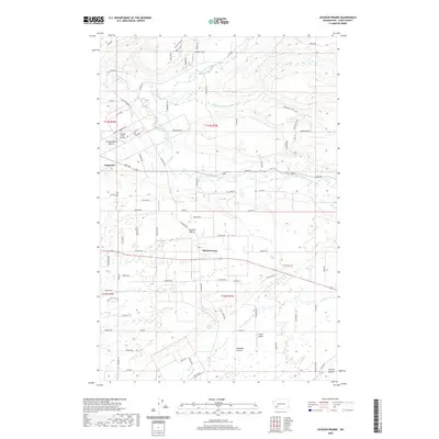
2020 Map of Jackson Prairie
USGS Topo · Published 2020About this map
Napavine anchors the northwestern corner of this landscape, where the Newaukum River system branches into several forks. This Lewis County terrain is defined by a series of distinct upland flats, including Newaukum Prairie, Jackson Prairie, and Lacamas Prairie. These open areas historically supported early agriculture and remain focal points for local settlement. The drainage network is complex, featuring the North Fork Newaukum River, the Middle Fork Newaukum River, and the South Fork Newaukum River, which converge as they move westward.
Find a feature on this map
93 named features on this map. Tap any name to fly to it.
Don’t see what you’re looking for? This feature index may not catch every label — zoom into the map to look around manually.
Map Details
Editions of this 2020 Jackson Prairie Map
This is the sole edition of this map. No revisions or reprints were ever made.
Other maps of this area

1916 · Chehalis
USGS Topo · 1:125,000

1941 · Olequa
USGS Topo · 1:62,500

1942 · Toutle
USGS Topo · 1:62,500

1943 · Willapa
USGS Topo · 1:62,500

1953 · Hoquiam
USGS Topo · 1:250,000

1953 · Toutle
USGS Topo · 1:62,500

1953 · Castle Rock
USGS Topo · 1:62,500

1954 · Onalaska
USGS Topo · 1:62,500

1954 · Centralia
USGS Topo · 1:62,500

1957 · Hoquiam
USGS Topo · 1:250,000