
1905 Map of Jackson
USGS Topo · Published 1905About this map
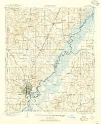
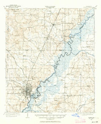
The Pearl River snakes through the heart of this central Mississippi region, serving as the historical dividing line between Hinds, Madison, and Rankin counties. At the turn of the century, Jackson and West Jackson appear as a growing railroad hub, where the Illinois Central RR intersects with the Alabama and Vicksburg RR and several other lines. This convergence of rail infrastructure supported significant institutions on the city's periphery, including the Insane Asylum, an Orphanage, and the campus of Tougaloo University to the north.
Find a feature on this map
69 named features on this map. Tap any name to fly to it.
Don’t see what you’re looking for? This feature index may not catch every label — zoom into the map to look around manually.
Map Details
Editions of this 1905 Jackson Map
3 editions found
Other maps of this area

1903 · Jackson
USGS Topo · 1:125,000

1906 · Florence
USGS Topo · 1:62,500

1908 · Jackson
USGS Topo · 1:62,500

1908 · Florence
USGS Topo · 1:62,500

1922 · Pelahatchee
USGS Topo · 1:48,000

1924 · Pelahatchee
USGS Topo · 1:62,500

1934 · Raymond
USGS Topo · 1:48,000

1937 · Raymond
USGS Topo · 1:62,500

1937 · Terry
USGS Topo · 1:48,000

1942 · Raymond
USGS Topo · 1:62,500