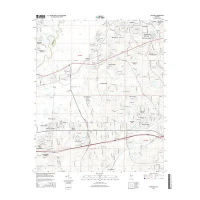
2015 Map of Jackson SE
USGS Topo · Published 2015About this map
Jackson-Medgar Wiley Evers International Airport and its sprawling runways dominate the central landscape of this 2015 survey, illustrating the modern infrastructure of the state capital's eastern suburbs. The Kansas City Southern railroad cuts a diagonal path through the terrain, connecting established residential developments like McLaurin Heights, Crossgates, and Castlewoods. The area is defined by the winding course of the Pearl River to the west and the southern reaches of the Ross R Barnett Reservoir in the northeast, which creates a complex hydrography of creeks including Hog Creek and Terrapin Skin Cr.
Find a feature on this map
251 named features on this map. Tap any name to fly to it.
Don’t see what you’re looking for? This feature index may not catch every label — zoom into the map to look around manually.
Map Details
Editions of this 2015 Jackson SE Map
This is the sole edition of this map. No revisions or reprints were ever made.
Other maps of this area

1903 · Jackson
USGS Topo · 1:125,000

1905 · Jackson
USGS Topo · 1:48,000

1906 · Florence
USGS Topo · 1:62,500

1908 · Jackson
USGS Topo · 1:62,500

1908 · Florence
USGS Topo · 1:62,500

1922 · Pelahatchee
USGS Topo · 1:48,000

1924 · Pelahatchee
USGS Topo · 1:62,500

1950 · Pelahatchie
USGS Topo · 1:62,500

1952 · Pelahatchie
USGS Topo · 1:62,500

1953 · Meridian
USGS Topo · 1:250,000