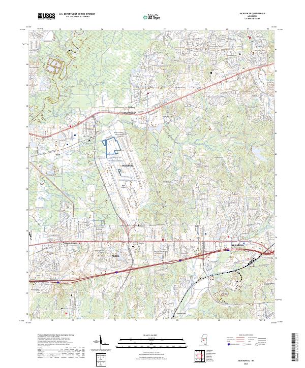
2024 Map of Jackson SE
USGS Topo · Published 2024About this map
The Pearl River corridor forms a distinct natural boundary between Hinds and Rankin counties, anchoring a landscape where historical crossings meet modern transportation hubs. The Jackson-Medgar Wiley Evers International Airport and Thompson Field dominate the central geography, positioned near the natural opening of the Bald Prairie. This map captures the continued growth of Brandon, Flowood, and Pearl, while preserving traces of older communities like Luckney and Wards Ferry.
Find a feature on this map
46 named features on this map. Tap any name to fly to it.
Don’t see what you’re looking for? This feature index may not catch every label — zoom into the map to look around manually.
Map Details
Editions of this 2024 Jackson SE Map
This is the sole edition of this map. No revisions or reprints were ever made.
Other maps of this area

1903 · Jackson
USGS Topo · 1:125,000

1905 · Jackson
USGS Topo · 1:48,000

1906 · Florence
USGS Topo · 1:62,500

1908 · Jackson
USGS Topo · 1:62,500

1908 · Florence
USGS Topo · 1:62,500

1922 · Pelahatchee
USGS Topo · 1:48,000

1924 · Pelahatchee
USGS Topo · 1:62,500

1950 · Pelahatchie
USGS Topo · 1:62,500

1952 · Pelahatchie
USGS Topo · 1:62,500

1953 · Meridian
USGS Topo · 1:250,000