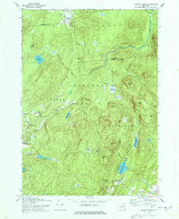
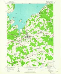
1970 Map of Jackson Summit
USGS Topo · Published 1977About this map
Adirondack State Park dominates this terrain, revealing a landscape of high summits and remote water bodies in the southern reaches of the Adirondack Forest Preserve. The settlement of Jackson Summit sits at the southern base of these hills, where Jackson Summit Reservoir and the nearby Butterworth Falls define the local hydrology. Smaller, perhaps older hamlets such as Upper Benson and Tomantown appear as clusters along the winding secondary roads that navigate the complex topography. Genealogists may note the small Cem near Upper Benson and named family locations like Lindsley Corners and Bowlers Corners. The land is punctuated by several vly features—marshy wetlands—including Racker Vly and Lynus Vly, which illustrate the post-glacial character of the Fulton and Hamilton county line region. Prominent peaks like Steele Mtn and Bernhardt Mtn stand over a network of creeks, notably West Stony Creek.
Find a feature on this map
52 named features on this map. Tap any name to fly to it.
Don’t see what you’re looking for? This feature index may not catch every label — zoom into the map to look around manually.
Map Details
Editions of this 1970 Jackson Summit Map
2 editions found
Other maps of this area

1899 · Broadalbin
USGS Topo · 1:62,500

1902 · Broadalbin
USGS Topo · 1:62,500

1903 · Gloversville
USGS Topo · 1:62,500

1907 · Lake Pleasant
USGS Topo · 1:62,500

1910 · Stony Creek
USGS Topo · 1:62,500

1943 · Gloversville
USGS Topo · 1:62,500
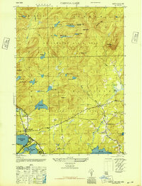
1945 · Caroga Lake
USGS Topo · 1:24,000

1945 · Northville
USGS Topo · 1:24,000
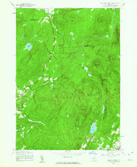
1945 · Jackson Summit
USGS Topo · 1:24,000
1945 · Broadalbin
USGS Topo · 1:24,000