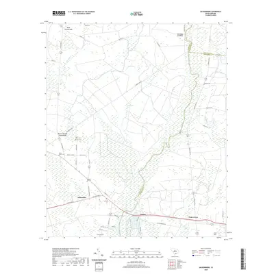
2020 Map of Jacksonboro
USGS Topo · Published 2020About this map
The Edisto River meanders through this Lowcountry landscape, defining the boundaries between Colleton, Charleston, and Dorchester counties. Near the settlement of Jacksonboro, the terrain is marked by a legacy of plantation life and early Carolina history, evidenced by Pon Pon Plantation Ave and the Isaac Hayne Tomb. The map detail reveals a rural network of crossroads and landings, such as Iron Crossroads and Lowndes Landing, where the river once served as a primary artery for movement and commerce.
Find a feature on this map
46 named features on this map. Tap any name to fly to it.
Don’t see what you’re looking for? This feature index may not catch every label — zoom into the map to look around manually.
Map Details
Editions of this 2020 Jacksonboro Map
This is the sole edition of this map. No revisions or reprints were ever made.
Other maps of this area

1918 · Walterboro
USGS Topo · 1:62,500

1918 · Green Pond
USGS Topo · 1:62,500

1918 · Cottageville
USGS Topo · 1:62,500

1919 · Edisto Island
USGS Topo · 1:62,500

1943 · Cottageville
USGS Topo · 1:62,500

1943 · Edisto Island
USGS Topo · 1:62,500

1943 · Green Pond
USGS Topo · 1:62,500

1943 · Walterboro
USGS Topo · 1:62,500

1947 · Savannah
USGS Topo · 1:250,000

1948 · Savannah
USGS Topo · 1:250,000