
1962 Map of Jacksonport
USGS Topo · Published 1963About this map
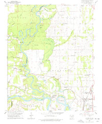
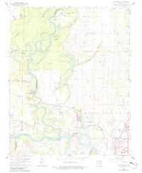
The Black River meanders through this landscape, creating a complex network of oxbow lakes and wetlands such as Dead Mule Bend and Tupelo Brake. The confluence of the Black and White River anchors the historic riverfront of Jacksonport, which sits just north of the larger rail hub at Newport. This area reflects the mid-century transition from river-dependent commerce to the rail-dominated transit of the Missouri Pacific line.
Find a feature on this map
71 named features on this map. Tap any name to fly to it.
Don’t see what you’re looking for? This feature index may not catch every label — zoom into the map to look around manually.
Map Details
Editions of this 1962 Jacksonport Map
3 editions found
Other maps of this area

1932 · Strawberry
USGS Topo · 1:62,500

1935 · Alicia
USGS Topo · 1:62,500

1935 · Strawberry
USGS Topo · 1:62,500

1935 · Newport
USGS Topo · 1:62,500

1935 · Tuckerman
USGS Topo · 1:62,500

1941 · Strawberry
USGS Topo · 1:62,500

1953 · Memphis
USGS Topo · 1:250,000

1954 · Charlotte
USGS Topo · 1:24,000

1955 · Cord
USGS Topo · 1:24,000

1956 · Memphis
USGS Topo · 1:250,000