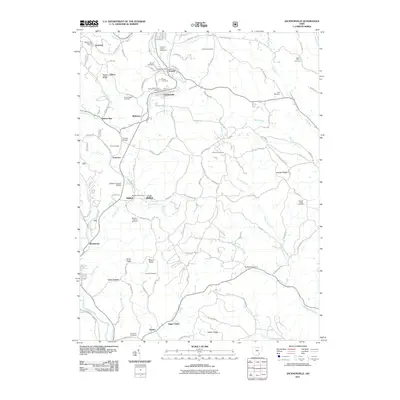
2011 Map of Jacksonville
USGS Topo · Published 2011About this map
Sunday Creek winds through the heart of this landscape, anchoring a series of small communities including Trimble, Jacksonville, and Millfield. The map reveals a dense network of local history markers, particularly the concentration of burial grounds such as the Queen of Heaven Cemeteries and Millfield-Hilltop Cemetery. This corridor of the Hocking Valley is characterized by significant topographic features like Taylor Ridge and Hooper Ridge, which separate the various runs and forks feeding into the main waterways. Landmark structures like the Kidwell Covered Bridge and the Number Ten Mission provide specific points of interest for those studying the social and physical infrastructure of the area. The distribution of post offices and small named settlements such as Truetown and Poston reflects the historical settlement patterns along the creek bottoms and ridgelines of Athens County.
Find a feature on this map
117 named features on this map. Tap any name to fly to it.
Don’t see what you’re looking for? This feature index may not catch every label — zoom into the map to look around manually.
Map Details
Editions of this 2011 Jacksonville Map
This is the sole edition of this map. No revisions or reprints were ever made.
Other maps of this area

1903 · Athens
USGS Topo · 1:62,500

1904 · Chesterhill
USGS Topo · 1:62,500

1905 · Athens
USGS Topo · 1:62,500

1906 · Chesterhill
USGS Topo · 1:62,500

1910 · Mc Connelsville
USGS Topo · 1:62,500

1911 · New Lexington
USGS Topo · 1:62,500

1947 · Columbus
USGS Topo · 1:250,000

1949 · Clarksburg
USGS Topo · 1:250,000

1956 · Clarksburg
USGS Topo · 1:250,000

1960 · Amesville
USGS Topo · 1:24,000