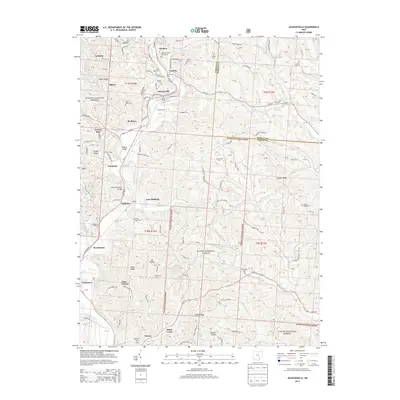
2013 Map of Jacksonville
USGS Topo · Published 2013About this map
Glouster, Trimble, and Jacksonville form a dense corridor of settlement in the northern section of this survey, where the valley of Sunday Cr defines the local geography. Much of the surrounding landscape is preserved as part of the Wayne National Forest, creating a mosaic of public land and private holdings throughout the hills of Athens County. Notable for those researching regional heritage, the map identifies numerous burial sites such as Queen of Heaven Cemeteries and Millfield Hilltop Cem. A significant engineering landmark, the Kidwell Covered Bridge, remains a focal point near Truetown. To the south, the terrain becomes increasingly defined by prominent ridges like Peach Ridge and Scatter Ridge as the landscape slopes toward the Hocking River at Poston.
Find a feature on this map
103 named features on this map. Tap any name to fly to it.
Don’t see what you’re looking for? This feature index may not catch every label — zoom into the map to look around manually.
Map Details
Editions of this 2013 Jacksonville Map
This is the sole edition of this map. No revisions or reprints were ever made.
Other maps of this area

1903 · Athens
USGS Topo · 1:62,500

1904 · Chesterhill
USGS Topo · 1:62,500

1905 · Athens
USGS Topo · 1:62,500

1906 · Chesterhill
USGS Topo · 1:62,500

1910 · Mc Connelsville
USGS Topo · 1:62,500

1911 · New Lexington
USGS Topo · 1:62,500

1947 · Columbus
USGS Topo · 1:250,000

1949 · Clarksburg
USGS Topo · 1:250,000

1956 · Clarksburg
USGS Topo · 1:250,000

1960 · Amesville
USGS Topo · 1:24,000