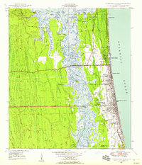
1948 Map of Jacksonville Beach
USGS Topo · Published 1958About this map
Jacksonville Beach and the neighboring coastal communities of Atlantic Beach and Neptune Beach represent the primary shoreline development on this 1948 survey, just as Beach Boulevard was being extended across the marsh. This major infrastructure project signaled the post-war transition of the area, connecting the barrier island more directly to the mainland. Behind the coastal dunes, the landscape is defined by the Intracoastal Waterway and the winding course of Pablo Creek, which separate the beaches from the vast reaches of Cedar Swamp and Possum Head Swamp.
Find a feature on this map
60 named features on this map. Tap any name to fly to it.
Don’t see what you’re looking for? This feature index may not catch every label — zoom into the map to look around manually.
Map Details
Editions of this 1948 Jacksonville Beach Map
3 editions found
Other maps of this area

1917 · Orange Park
USGS Topo · 1:62,500

1918 · Jacksonville
USGS Topo · 1:62,500

1918 · Orange Park
USGS Topo · 1:62,500

1918 · Palm Valley
USGS Topo · 1:62,500

1918 · Mayport
USGS Topo · 1:62,500

1948 · Jacksonville
USGS Topo · 1:250,000

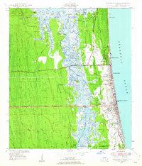
1948 · Jacksonville Beach
USGS Topo · 1:24,000

1948 · Eastport
USGS Topo · 1:24,000

1949 · Jacksonville Beach
USGS Topo · 1:24,000

1950 · Arlington
USGS Topo · 1:24,000