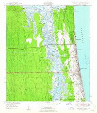
1948 Map of Jacksonville Beach
USGS Topo · Published 1958About this map
Pablo Creek and the Intracoastal Waterway form a critical north-south arterial through this coastal landscape, separating the mainland swamps from the burgeoning beach communities of the mid-twentieth century. The map shows the dense grid development of Jacksonville Beach and Neptune Beach during a period of rapid post-war expansion. While the coast is characterized by residential growth and landmarks like the Filtration Plant and Fletcher High Sch, the interior remains dominated by tidal wetlands and numerous islands, including Seven Pines Island and Beswick Island. Local history is preserved in the location of the Tillotson Cem and Warren Smith Cem, while the industrial and recreational character of the waterway is evidenced by the El-Verde Yacht Basin and the proximity to Craig Field Cedar Swamp.
Find a feature on this map
67 named features on this map. Tap any name to fly to it.
Don’t see what you’re looking for? This feature index may not catch every label — zoom into the map to look around manually.
Map Details
Editions of this 1948 Jacksonville Beach Map
3 editions found
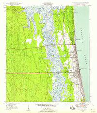
Other maps of this area

1917 · Orange Park
USGS Topo · 1:62,500

1918 · Jacksonville
USGS Topo · 1:62,500

1918 · Orange Park
USGS Topo · 1:62,500

1918 · Palm Valley
USGS Topo · 1:62,500

1918 · Mayport
USGS Topo · 1:62,500

1948 · Jacksonville
USGS Topo · 1:250,000

1948 · Jacksonville Beach
USGS Topo · 1:24,000

1948 · Eastport
USGS Topo · 1:24,000

1949 · Jacksonville Beach
USGS Topo · 1:24,000

1950 · Arlington
USGS Topo · 1:24,000