
1948 Map of Jacksonville Beach
USGS Topo · Published 1958About this map
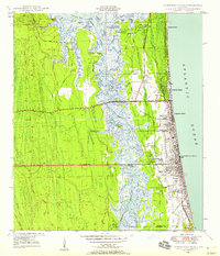
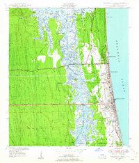
The coastal landscape of Jacksonville Beach and its neighboring seaside communities is defined by the narrow barrier between the Atlantic Ocean and the marshy reaches of Pablo Creek. This 1948 survey documents a significant period of infrastructure development, most notably with Beach Boulevard (Under Construction) cutting west toward the interior. The map reveals the intricate network of the Intracoastal Waterway as it winds through islands like Seven Pines Island and Beswick Island, bypassing older landmarks such as an Indian Mound near Sherman Creek.
Find a feature on this map
65 named features on this map. Tap any name to fly to it.
Don’t see what you’re looking for? This feature index may not catch every label — zoom into the map to look around manually.
Map Details
Editions of this 1948 Jacksonville Beach Map
3 editions found
Other maps of this area

1917 · Orange Park
USGS Topo · 1:62,500

1918 · Jacksonville
USGS Topo · 1:62,500

1918 · Orange Park
USGS Topo · 1:62,500

1918 · Palm Valley
USGS Topo · 1:62,500

1918 · Mayport
USGS Topo · 1:62,500

1948 · Jacksonville
USGS Topo · 1:250,000

1948 · Eastport
USGS Topo · 1:24,000

1949 · Jacksonville Beach
USGS Topo · 1:24,000

1950 · Arlington
USGS Topo · 1:24,000
1950 · Mayport
USGS Topo · 1:24,000