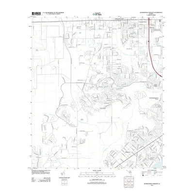
2012 Map of Jacksonville Heights
USGS Topo · Published 2012About this map
Cecil Field Naval Air Sta and the adjacent Cecil Airport dominate the western portion of this 2012 survey, illustrating the significant military and aviation footprint in the Jacksonville area. The landscape transitions from these large-scale facilities to the densely developed residential corridors of Argyle Forest and North Meadowbrook Terrace in the east. The drainage of the Ortega River and its tributaries, including Little Black Cr and S Prong Double Br, weave through the suburban landscape, defining the boundaries of local neighborhoods. Cultural and recreational landmarks are visible throughout, from the Federal Hill Cem to the Grenelefe Golf and Tennis Resort and Camp Coacoochee. This edition provides a clear record of the infrastructure supporting a modernizing Florida suburb, showing the Jacksonville Heights Wastewater Treatment Facility and complex network of residential roads like Taylor Field Rd and Collins Rd.
Find a feature on this map
87 named features on this map. Tap any name to fly to it.
Don’t see what you’re looking for? This feature index may not catch every label — zoom into the map to look around manually.
Map Details
Editions of this 2012 Jacksonville Heights Map
This is the sole edition of this map. No revisions or reprints were ever made.
Other maps of this area

1917 · Orange Park
USGS Topo · 1:62,500

1917 · Cambon
USGS Topo · 1:62,500

1918 · Middleburg
USGS Topo · 1:62,500

1918 · Cambon
USGS Topo · 1:62,500

1918 · Jacksonville
USGS Topo · 1:62,500

1918 · Orange Park
USGS Topo · 1:62,500

1941 · Middleburg
USGS Topo · 1:62,500

1948 · Jacksonville
USGS Topo · 1:250,000

1949 · Middleburg SW
USGS Topo · 1:24,000

1949 · Fiftone
USGS Topo · 1:24,000
Featured Places
- Jacksonville, FL
- North Meadowbrook Terrace, FL
- Oak Hill Park, Jacksonville
- Argyle Forest, Jacksonville
- Ridgewood, FL