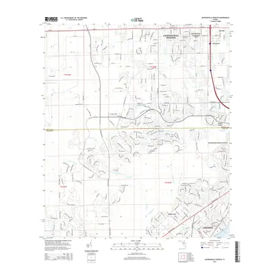
2015 Map of Jacksonville Heights
USGS Topo · Published 2015About this map
Jacksonville Heights and the surrounding suburban developments of West Jacksonville define this landscape as it appeared in the mid-2010s. The map illustrates a dense network of residential subdivisions and major thoroughfares, including Blanding Blvd and the SR-23 corridor, which cut through the southern reaches into Clay County. The suburban expansion is framed by natural drainage systems like the Ortega River and the meandering Little Black Creek, which flows toward Doctors Lake.
Find a feature on this map
27 named features on this map. Tap any name to fly to it.
Don’t see what you’re looking for? This feature index may not catch every label — zoom into the map to look around manually.
Map Details
Editions of this 2015 Jacksonville Heights Map
This is the sole edition of this map. No revisions or reprints were ever made.
Other maps of this area

1917 · Orange Park
USGS Topo · 1:62,500

1917 · Cambon
USGS Topo · 1:62,500

1918 · Middleburg
USGS Topo · 1:62,500

1918 · Cambon
USGS Topo · 1:62,500

1918 · Jacksonville
USGS Topo · 1:62,500

1918 · Orange Park
USGS Topo · 1:62,500

1941 · Middleburg
USGS Topo · 1:62,500

1948 · Jacksonville
USGS Topo · 1:250,000

1949 · Middleburg SW
USGS Topo · 1:24,000

1949 · Fiftone
USGS Topo · 1:24,000
Featured Places
- Jacksonville, FL
- North Meadowbrook Terrace, FL
- Oak Hill Park, Jacksonville
- Argyle Forest, Jacksonville
- Ridgewood, FL