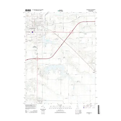
2015 Map of Jacksonville
USGS Topo · Published 2015About this map
Illinois Coll and MacMurray Coll anchor the historic educational landscape of Jacksonville, reflecting the city's long-standing role as a center of higher learning in central Illinois. The urban grid transitions into a pastoral terrain marked by the waters of Mauvaise Terre Lake and Lake Jacksonville, which dominate the southern half of the quadrangle. This 2015 data illustrates a complex network of family and community history through a high density of burial grounds, including the large East Cem and Diamond Grove Cem, alongside smaller rural plots like the Sheppard Cem and Hoag Cem. The drainage patterns of N Fork Mauvaise Terre Cr and Big Sandy Cr define the natural contours surrounding the smaller outlying communities of Woodson, Arnold, and Pisgah.
Find a feature on this map
78 named features on this map. Tap any name to fly to it.
Don’t see what you’re looking for? This feature index may not catch every label — zoom into the map to look around manually.
Map Details
Editions of this 2015 Jacksonville Map
This is the sole edition of this map. No revisions or reprints were ever made.
Other maps of this area

1924 · Winchester
USGS Topo · 1:48,000

1926 · Winchester
USGS Topo · 1:62,500

1929 · Arenzville
USGS Topo · 1:62,500

1932 · Arenzville
USGS Topo · 1:62,500

1932 · Jacksonville
USGS Topo · 1:62,500

1932 · Virginia
USGS Topo · 1:62,500

1936 · Virginia
USGS Topo · 1:62,500

1937 · Jacksonville
USGS Topo · 1:62,500

1948 · Quincy
USGS Topo · 1:250,000

1956 · Quincy
USGS Topo · 1:250,000