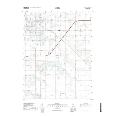
2018 Map of Jacksonville
USGS Topo · Published 2018About this map
The academic campuses of Illinois College and MacMurray College define the northern portion of this map, reflecting the long-standing educational identity of the area. The landscape is deeply tied to the waters of Mauvaise Terre Lake and the larger Lake Jacksonville to the south, which are fed by a network of tributaries including Mauvaise Terre Cr and Brushy Fork. These water bodies and their surrounding drainages, such as N Fork Mauvaise Terre Cr and Dick Woods Br, have historically shaped the expansion of Jacksonville and its neighbor South Jacksonville.
Find a feature on this map
154 named features on this map. Tap any name to fly to it.
Don’t see what you’re looking for? This feature index may not catch every label — zoom into the map to look around manually.
Map Details
Editions of this 2018 Jacksonville Map
This is the sole edition of this map. No revisions or reprints were ever made.
Other maps of this area

1924 · Winchester
USGS Topo · 1:48,000

1926 · Winchester
USGS Topo · 1:62,500

1929 · Arenzville
USGS Topo · 1:62,500

1932 · Arenzville
USGS Topo · 1:62,500

1932 · Jacksonville
USGS Topo · 1:62,500

1932 · Virginia
USGS Topo · 1:62,500

1936 · Virginia
USGS Topo · 1:62,500

1937 · Jacksonville
USGS Topo · 1:62,500

1948 · Quincy
USGS Topo · 1:250,000

1956 · Quincy
USGS Topo · 1:250,000