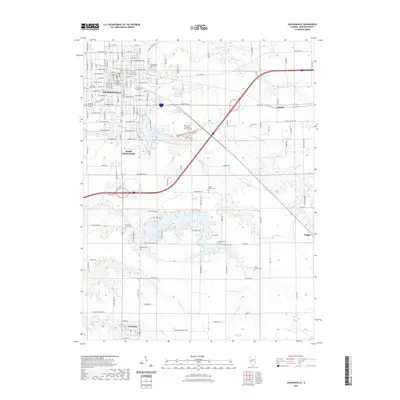
2021 Map of Jacksonville
USGS Topo · Published 2021About this map
Jacksonville and its surrounding Morgan County townships appear as a well-established educational and administrative center in this 2021 survey. The landscape is defined by the historic campuses of Illinois College and MacMurray College, alongside the Morgan County Courthouse. This urban core transitions into a rural topography heavily marked by family-named cemeteries and complex water networks, such as the numerous branches of the Mauvaise Terre Creek and its associated reservoirs, Mauvaise Terre Lake and Lake Jacksonville.
Find a feature on this map
74 named features on this map. Tap any name to fly to it.
Don’t see what you’re looking for? This feature index may not catch every label — zoom into the map to look around manually.
Map Details
Editions of this 2021 Jacksonville Map
This is the sole edition of this map. No revisions or reprints were ever made.
Other maps of this area

1924 · Winchester
USGS Topo · 1:48,000

1926 · Winchester
USGS Topo · 1:62,500

1929 · Arenzville
USGS Topo · 1:62,500

1932 · Arenzville
USGS Topo · 1:62,500

1932 · Jacksonville
USGS Topo · 1:62,500

1932 · Virginia
USGS Topo · 1:62,500

1936 · Virginia
USGS Topo · 1:62,500

1937 · Jacksonville
USGS Topo · 1:62,500

1948 · Quincy
USGS Topo · 1:250,000

1956 · Quincy
USGS Topo · 1:250,000