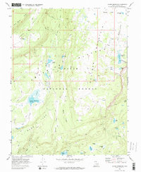
1969 Map of Jacobs Reservoir
USGS Topo · Published 1973About this map
The high-altitude terrain of the Aquarius Plateau defines this portion of the Dixie National Forest, mapped here in the late 1960s. The landscape is a complex network of glacial basins and volcanic plateaus, characterized by numerous small alpine lakes and depressions such as the Row Lakes and the cluster at Five Lakes. Jacobs Reservoir serves as a primary water feature, fed by Jacobs Valley and drained by Pine Creek.
Find a feature on this map
47 named features on this map. Tap any name to fly to it.
Don’t see what you’re looking for? This feature index may not catch every label — zoom into the map to look around manually.
Map Details
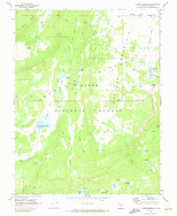
Editions of this 1969 Jacobs Reservoir Map
2 editions found
Other maps of this area

1885 · Fish Lake
USGS Topo · 1:250,000

1886 · Escalante
USGS Topo · 1:250,000

1896 · Fish Lake
USGS Topo · 1:250,000

1952 · Notom 3 SW
USGS Topo · 1:24,000

1952 · Notom 3 NW
USGS Topo · 1:24,000

1952 · Grover
USGS Topo · 1:62,500

1953 · Loa 4 NE
USGS Topo · 1:24,000

1956 · Escalante
USGS Topo · 1:250,000

1956 · Salina
USGS Topo · 1:250,000

1960 · Escalante
USGS Topo · 1:250,000