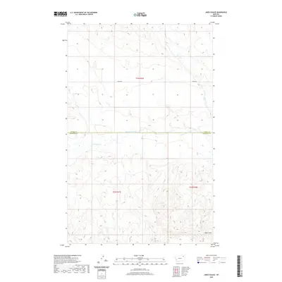
2020 Map of Jakes Coulee
USGS Topo · Published 2020About this map
W Fork Poplar River carves a central path through this section of the High Plains, serving as the primary hydrological feature of the landscape. The terrain is defined by a network of drainage channels and coulees, most notably Jakes Coulee in the southeast and Cottonwood Creek to the west. This 2020 survey illustrates a sparsely developed region where human activity is primarily marked by the presence of Lannon Rd and the straight-line boundaries separating Daniels and Roosevelt counties. In the northern reaches, Police Creek flows through the rolling elevation, reflecting the characteristic geography of the Wolf Point District. The map provides a precise look at the land partitions and natural drainage patterns that have shaped land use in this part of northeastern Montana.
Find a feature on this map
9 named features on this map. Tap any name to fly to it.
Don’t see what you’re looking for? This feature index may not catch every label — zoom into the map to look around manually.
Map Details
Editions of this 2020 Jakes Coulee Map
This is the sole edition of this map. No revisions or reprints were ever made.
Other maps of this area

1910 · Cuskers
USGS Topo · 1:62,500

1915 · Tule Valley
USGS Topo · 1:62,500

1915 · Cuskers
USGS Topo · 1:62,500

1954 · Wolf Point
USGS Topo · 1:250,000

1958 · Wolf Point
USGS Topo · 1:250,000

1973 · Peerless 4 NE
USGS Topo · 1:24,000

1973 · Nielsen Coulee
USGS Topo · 1:24,000

1973 · Cabarett Coulee
USGS Topo · 1:24,000

1973 · Peerless 4 SE
USGS Topo · 1:24,000

1973 · Peerless 4 SW
USGS Topo · 1:24,000