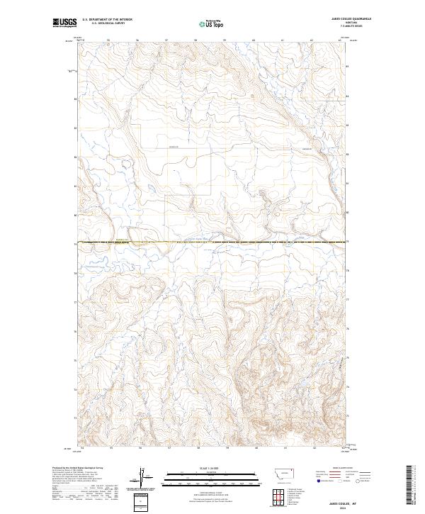
2024 Map of Jakes Coulee
USGS Topo · Published 2024About this map
The West Fork Poplar River carves a central path through this section of the Montana plains, serving as the primary hydrological feature near the border of Daniels and Roosevelt counties. This 2024 survey depicts a landscape defined by its drainage systems, where Police Creek and Cottonwood Creek feed into the larger river basin amidst the varied elevations of Jakes Coulee. The terrain is sparsely settled, with Lannon Rd providing one of the few named terrestrial connections through the sections of townships t33n r47e, t32n r47e, and t32n r48e. The intricate contouring reveals the erosion patterns typical of the region's coulees, offering a contemporary look at the land's physical geography as it remains largely dedicated to open range or agriculture.
Find a feature on this map
9 named features on this map. Tap any name to fly to it.
Don’t see what you’re looking for? This feature index may not catch every label — zoom into the map to look around manually.
Map Details
Editions of this 2024 Jakes Coulee Map
This is the sole edition of this map. No revisions or reprints were ever made.
Other maps of this area

1910 · Cuskers
USGS Topo · 1:62,500

1915 · Tule Valley
USGS Topo · 1:62,500

1915 · Cuskers
USGS Topo · 1:62,500

1954 · Wolf Point
USGS Topo · 1:250,000

1958 · Wolf Point
USGS Topo · 1:250,000

1973 · Peerless 4 NE
USGS Topo · 1:24,000

1973 · Nielsen Coulee
USGS Topo · 1:24,000

1973 · Cabarett Coulee
USGS Topo · 1:24,000

1973 · Peerless 4 SE
USGS Topo · 1:24,000

1973 · Peerless 4 SW
USGS Topo · 1:24,000