
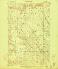
1973 Map of Jakes Coulee
USGS Topo · Published 1995About this map
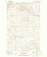
Fort Peck Indian Reservation dominates the landscape of this 1970s survey, bisected by the meandering West Fork Poplar River. This northeastern Montana terrain, mapped shortly after field checks in 1973, reveals a sparsely populated landscape defined by drainage patterns and essential water sources. The boundary between Daniels Co and Roosevelt Co runs directly through the river valley, marking a political division in an otherwise open topography of coulees and breaks.
Find a feature on this map
11 named features on this map. Tap any name to fly to it.
Don’t see what you’re looking for? This feature index may not catch every label — zoom into the map to look around manually.
Map Details
Editions of this 1973 Jakes Coulee Map
2 editions found
Other maps of this area

1910 · Cuskers
USGS Topo · 1:62,500
1915 · Tule Valley
USGS Topo · 1:62,500

1915 · Cuskers
USGS Topo · 1:62,500

1954 · Wolf Point
USGS Topo · 1:250,000

1958 · Wolf Point
USGS Topo · 1:250,000
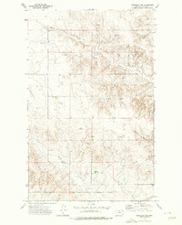
1973 · Peerless 4 NE
USGS Topo · 1:24,000

1973 · Nielsen Coulee
USGS Topo · 1:24,000
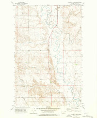
1973 · Cabarett Coulee
USGS Topo · 1:24,000
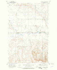
1973 · Peerless 4 SE
USGS Topo · 1:24,000
1973 · Peerless 4 SW
USGS Topo · 1:24,000