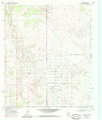
1969 Map of Jal NE
USGS Topo · Published 1985About this map
The New Mexico Texas state line bisects this high plains landscape, defining a region dominated by mid-century petroleum extraction. Large-scale energy operations are evident through the sprawling Stateline Oil Field and the Monument Jal Oil Field, which are supported by a complex network of infrastructure including a Gas Plant, multiple instances of a Pumping Sta, and scattered Oil Wells.
Find a feature on this map
10 named features on this map. Tap any name to fly to it.
Don’t see what you’re looking for? This feature index may not catch every label — zoom into the map to look around manually.
Map Details
Editions of this 1969 Jal NE Map
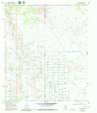
Other maps of this area

1954 · Hobbs
USGS Topo · 1:250,000

1958 · Hobbs
USGS Topo · 1:250,000

1969 · Jal NE
USGS Topo · 1:24,000

1969 · Eunice SE
USGS Topo · 1:24,000

1969 · Jal NW
USGS Topo · 1:24,000

1969 · Jal
USGS Topo · 1:24,000

1969 · Rattlesnake Canyon
USGS Topo · 1:24,000

1969 · Jal SE
USGS Topo · 1:24,000

1971 · Figure Seven Ranch
USGS Topo · 1:24,000

1971 · Frankel City SW
USGS Topo · 1:24,000