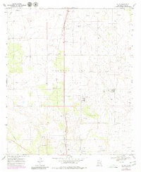
1969 Map of Jal NW
USGS Topo · Published 1980About this map
The Monument Jal Oil Field dominates this Permian Basin landscape, showing an intensive grid of petroleum extraction near the New Mexico border. Surveyed in 1969 and photorevised a decade later, the map reveals the heavy industrial infrastructure required to support the local economy, including a Gas Plant, a Radio Tower, and numerous scattered Oil Wells. The sprawling network of roads and pipelines cuts across the arid terrain, illustrating the systematic development of the region's natural resources during the mid-to-late 20th century.
Find a feature on this map
15 named features on this map. Tap any name to fly to it.
Don’t see what you’re looking for? This feature index may not catch every label — zoom into the map to look around manually.
Map Details
Editions of this 1969 Jal NW Map
2 editions found
Other maps of this area

1954 · Hobbs
USGS Topo · 1:250,000

1958 · Hobbs
USGS Topo · 1:250,000

1963 · Oil Center
USGS Topo · 1:62,500

1969 · Jal NE
USGS Topo · 1:24,000

1969 · Eunice SE
USGS Topo · 1:24,000

1969 · Jal NW
USGS Topo · 1:24,000

1969 · Jal
USGS Topo · 1:24,000

1969 · Rattlesnake Canyon
USGS Topo · 1:24,000

1969 · Jal SE
USGS Topo · 1:24,000

1973 · Javelina Basin
USGS Topo · 1:24,000