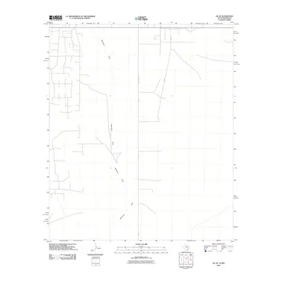
2010 Map of Jal SE
USGS Topo · Published 2010About this map
Monument Draw defines the drainage of this arid landscape, winding through the southeastern corner of Lea County as it crosses the Texas-New Mexico border. The terrain is structured by a network of ranching and petroleum access roads, primarily oriented along a grid. Key transit corridors include Ranch Road 1218, which transitions into FM-1218, and SW 9751. The landscape is sparse, reflecting the industrial and agricultural character of the Permian Basin region, where infrastructure is designed for resource management rather than dense settlement. The map provides a detailed look at the physical geography and road systems used by the ranching and energy sectors in the early 21st century.
Find a feature on this map
4 named features on this map. Tap any name to fly to it.
Don’t see what you’re looking for? This feature index may not catch every label — zoom into the map to look around manually.
Map Details
Editions of this 2010 Jal SE Map
This is the sole edition of this map. No revisions or reprints were ever made.
Other maps of this area

1954 · Hobbs
USGS Topo · 1:250,000

1954 · Pecos
USGS Topo · 1:250,000

1957 · Pecos
USGS Topo · 1:250,000

1958 · Hobbs
USGS Topo · 1:250,000

1969 · Jal NE
USGS Topo · 1:24,000

1969 · Jal NW
USGS Topo · 1:24,000

1969 · Jal
USGS Topo · 1:24,000

1969 · Jal SE
USGS Topo · 1:24,000

1970 · Vesrue
USGS Topo · 1:24,000

1970 · Kermit NW
USGS Topo · 1:24,000