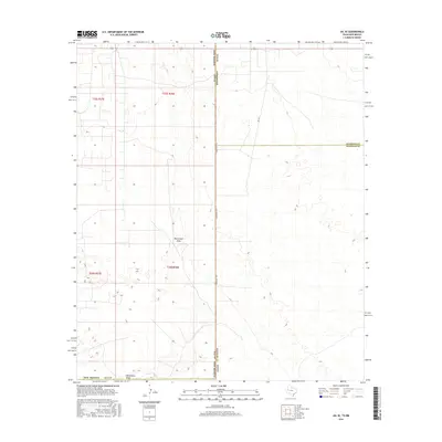
2016 Map of Jal SE
USGS Topo · Published 2016About this map
Monument Draw serves as the primary geographic corridor through this section of the Permian Basin, carving a subtle path across the high desert floor. The map records the precise intersection of the New Mexico-Texas state line where Lea County meets Andrews and Winkler counties. This arid landscape is defined by the Public Land Survey System grid, which organizes the territory into townships such as t25s r38e and t26s r37e. Transportation is facilitated by local routes like Ranch Rd 1218 and SW 9751, which provide access to the remote oil and gas fields characteristic of this border region. The sparse distribution of named features underscores the utilitarian nature of the land, primarily used for energy extraction and ranching in a territory where water sources like the draw dictate the sparse patterns of human activity.
Find a feature on this map
13 named features on this map. Tap any name to fly to it.
Don’t see what you’re looking for? This feature index may not catch every label — zoom into the map to look around manually.
Map Details
Editions of this 2016 Jal SE Map
This is the sole edition of this map. No revisions or reprints were ever made.
Other maps of this area

1954 · Hobbs
USGS Topo · 1:250,000

1954 · Pecos
USGS Topo · 1:250,000

1957 · Pecos
USGS Topo · 1:250,000

1958 · Hobbs
USGS Topo · 1:250,000

1969 · Jal NE
USGS Topo · 1:24,000

1969 · Jal NW
USGS Topo · 1:24,000

1969 · Jal
USGS Topo · 1:24,000

1969 · Jal SE
USGS Topo · 1:24,000

1970 · Vesrue
USGS Topo · 1:24,000

1970 · Kermit NW
USGS Topo · 1:24,000