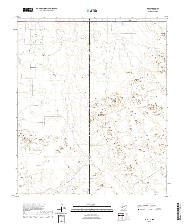
2022 Map of Jal SE
USGS Topo · Published 2022About this map
Monument Draw cuts through the arid landscape where the Texas and New Mexico state lines meet, defining the primary drainage for this remote corner of the Permian Basin. This 2022 survey captures a borderland region where the boundaries of Lea, Andrews, and Winkler counties converge. The terrain is sparsely populated, dominated by the geometric section lines of the Public Land Survey System, including t25s r37e and t26s r38e. Transportation is limited to a handful of routes such as N Fm 1218 and Sw 9751, which provide access through the sandy, high-desert flats. The map reflects a landscape primarily shaped by administrative divisions and industrial access rather than established townships, preserving the modern character of these isolated western ranch and oil lands.
Find a feature on this map
12 named features on this map. Tap any name to fly to it.
Don’t see what you’re looking for? This feature index may not catch every label — zoom into the map to look around manually.
Map Details
Editions of this 2022 Jal SE Map
This is the sole edition of this map. No revisions or reprints were ever made.
Other maps of this area

1954 · Hobbs
USGS Topo · 1:250,000

1954 · Pecos
USGS Topo · 1:250,000

1957 · Pecos
USGS Topo · 1:250,000

1958 · Hobbs
USGS Topo · 1:250,000

1969 · Jal NE
USGS Topo · 1:24,000

1969 · Jal NW
USGS Topo · 1:24,000

1969 · Jal
USGS Topo · 1:24,000

1969 · Jal SE
USGS Topo · 1:24,000

1970 · Vesrue
USGS Topo · 1:24,000

1970 · Kermit NW
USGS Topo · 1:24,000