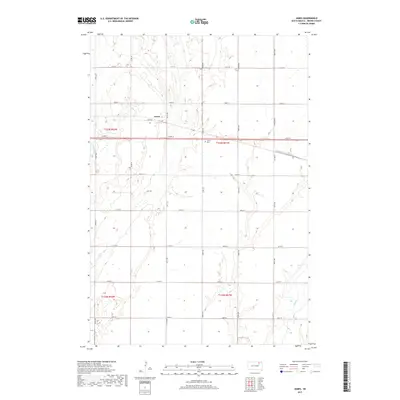
2017 Map of James
USGS Topo · Published 2017About this map
The James River meanders through this portion of Brown County, defining the agricultural character of the prairie landscape. The small settlement of James serves as a local landmark along James Rd, while the nearby James Cem provides a tangible connection for genealogists researching family history in Gem Township. This 2017 survey reflects a deeply organized township-and-range system, with a dense network of section-line roads such as 133rd St and 401st Ave that facilitate access across the open terrain. In the southeastern corner, Mud Cr cuts through the plains, contributing to the drainage patterns of the region. The map captures a quintessential South Dakota rural landscape where the placement of cemeteries and small communities remains anchored to the original survey lines and the natural course of the river.
Find a feature on this map
26 named features on this map. Tap any name to fly to it.
Don’t see what you’re looking for? This feature index may not catch every label — zoom into the map to look around manually.
Map Details
Editions of this 2017 James Map
This is the sole edition of this map. No revisions or reprints were ever made.
Other maps of this area

1894 · Columbia
USGS Topo · 1:62,500

1895 · Aberdeen
USGS Topo · 1:125,000

1896 · Columbia
USGS Topo · 1:125,000

1952 · Huffton
USGS Topo · 1:24,000

1952 · Columbia
USGS Topo · 1:24,000

1952 · Putney
USGS Topo · 1:24,000

1953 · Stratford
USGS Topo · 1:24,000

1953 · Groton SW
USGS Topo · 1:24,000

1954 · Bath
USGS Topo · 1:24,000

1954 · Groton
USGS Topo · 1:24,000