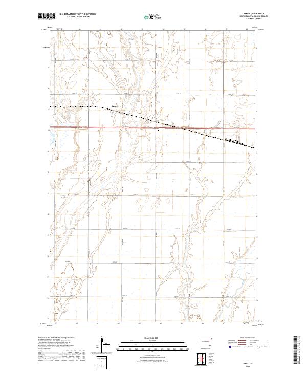
2021 Map of James
USGS Topo · Published 2021About this map
The James River meanders through this agricultural landscape in Brown County, anchoring a region defined by its wide floodplains and section-line road networks. The settlement of James serves as a local focal point, situated near the intersection of James Rd and 401st Ave. This area of South Dakota exhibits the characteristic township and range grid, with roads like 133rd St and 402nd Ave carving the prairie into neat productive squares. To the southeast, the terrain is subtly shaped by the path of Mud Cr, which joins the larger drainage system. The map captures the quiet infrastructure of the rural plains, from the localized James-Gem landmark to the steady presence of the river, providing a clear view of the land before modern intensive development might further alter these historic drainage patterns.
Find a feature on this map
26 named features on this map. Tap any name to fly to it.
Don’t see what you’re looking for? This feature index may not catch every label — zoom into the map to look around manually.
Map Details
Editions of this 2021 James Map
This is the sole edition of this map. No revisions or reprints were ever made.
Other maps of this area

1894 · Columbia
USGS Topo · 1:62,500

1895 · Aberdeen
USGS Topo · 1:125,000

1896 · Columbia
USGS Topo · 1:125,000

1952 · Huffton
USGS Topo · 1:24,000

1952 · Columbia
USGS Topo · 1:24,000

1952 · Putney
USGS Topo · 1:24,000

1953 · Stratford
USGS Topo · 1:24,000

1953 · Groton SW
USGS Topo · 1:24,000

1954 · Bath
USGS Topo · 1:24,000

1954 · Groton
USGS Topo · 1:24,000