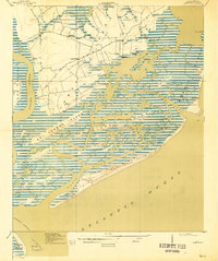
1919 Map of James Island
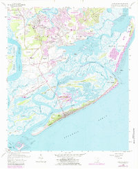
USGS Topo · Published 1942About this map
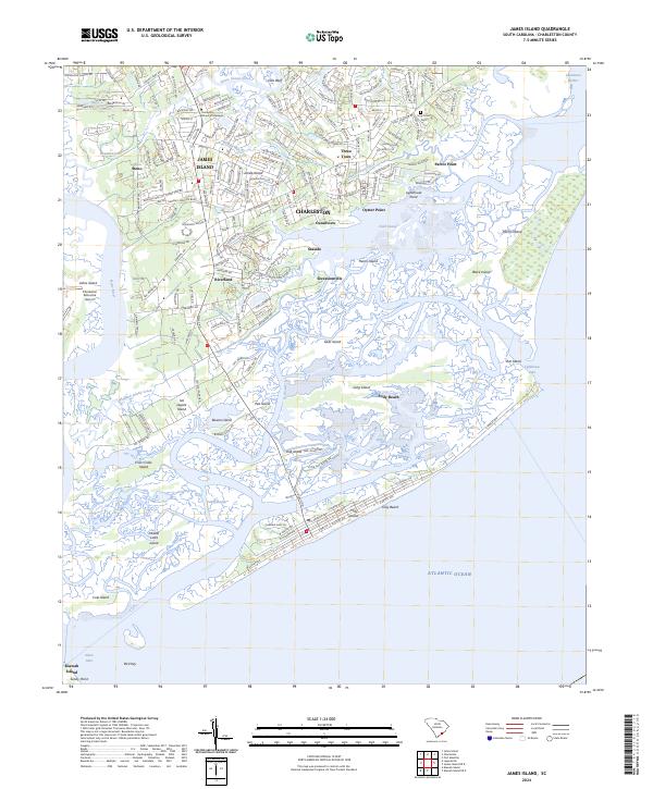
James Island and its surrounding marshlands are captured here in a period of maritime transition between the world wars. The intricate network of tidal waterways, including Schooner Creek and Folly River, defines the landscape, separating major landmasses like Sol Legare Island and Morris Island from the mainland. Small agrarian and coastal settlements such as Secessionville, Centerville, and Three Trees are connected by local routes like Kings Road, reflecting an era before heavy coastal development. Marine safety and navigation infrastructure are prominent at the edge of the Atlantic Ocean, specifically the Morris Island Coast Guard Sta and the Charleston Lh. The presence of Payne Chapel and numerous unnamed structures suggests a close-knit community relying on both the land and the surrounding sea for its livelihood.
Find a feature on this map
35 named features on this map. Tap any name to fly to it.
Don’t see what you’re looking for? This feature index may not catch every label — zoom into the map to look around manually.
Map Details
Editions of this 1919 James Island Map
2 editions found

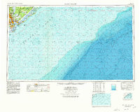
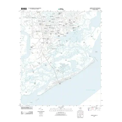
Historical Maps of Charleston Through Time
13 maps found
1919 James Island
Charleston County, SC

1943 James Island
Charleston County, SC

1948 James Island
Charleston County, SC
1959 James Island
Charleston County, SC

1968 James Island
Charleston County, SC
1969 James Island
Charleston County, SC

1986 James Island
Charleston County, SC

1990 James Island
Charleston County, SC
2011 James Island
Charleston County, SC
2014 James Island
Charleston County, SC
2017 James Island
Charleston County, SC
2020 James Island
Charleston County, SC
2024 James Island
Charleston County, SC