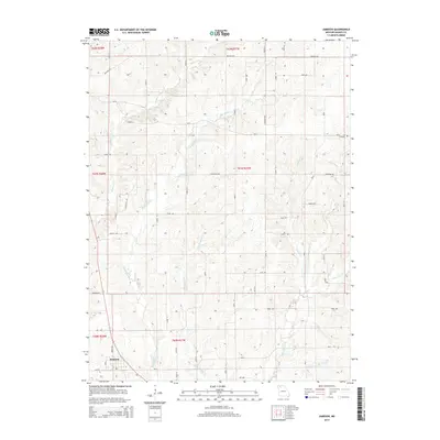
2014 Map of Jameson
USGS Topo · Published 2014About this map
The town of Jameson occupies the southwestern corner of this survey, situated above the bottomlands of Big Muddy Cr. This area of Daviess County is defined by a dense network of watercourses, where the forks of Little Muddy Cr and Big Muddy Cr converge. The landscape is carved by numerous secondary drainages, including Hickory Cr and Mason Cr, which dictate the winding paths of rural routes like Crescent Rd and Contental Rd.
Find a feature on this map
55 named features on this map. Tap any name to fly to it.
Don’t see what you’re looking for? This feature index may not catch every label — zoom into the map to look around manually.
Map Details
Editions of this 2014 Jameson Map
This is the sole edition of this map. No revisions or reprints were ever made.
Other maps of this area

1922 · Gallatin
USGS Topo · 1:62,500

1924 · Winston
USGS Topo · 1:62,500

1925 · Pattonsburg
USGS Topo · 1:62,500

1925 · Gilman
USGS Topo · 1:62,500

1944 · Pattonsburg
USGS Topo · 1:62,500

1946 · Gilman
USGS Topo · 1:48,000

1946 · Pattonsburg
USGS Topo · 1:48,000

1948 · Gilman
USGS Topo · 1:62,500

1948 · Pattonsburg
USGS Topo · 1:62,500

1950 · Kansas City
USGS Topo · 1:250,000