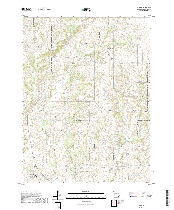
2021 Map of Jameson
USGS Topo · Published 2021About this map
Jameson anchor the southwestern corner of this Daviess County landscape, where the local post office Po serves the rural population near the intersection of State Rd DD and State Rd P. The terrain is defined by a dense network of watercourses, including the serpentine paths of Big Muddy Cr and Little Muddy Cr, which flow southward through the central quadrangle. These drainage patterns influenced the placement of early infrastructure and cemeteries such as Grand River Cem and Hill Cem, providing critical landmarks for genealogists and local historians. To the northeast, the outskirts of Gilman City appear near Beacon Ave, marking the boundary of a region dominated by a grid of agricultural roads. The presence of Cook Lake and several named creeks like Mason Cr and Hickory Cr illustrates the varied hydrography that has shaped the agricultural development of this Missouri interior.
Find a feature on this map
43 named features on this map. Tap any name to fly to it.
Don’t see what you’re looking for? This feature index may not catch every label — zoom into the map to look around manually.
Map Details
Editions of this 2021 Jameson Map
This is the sole edition of this map. No revisions or reprints were ever made.
Other maps of this area

1922 · Gallatin
USGS Topo · 1:62,500

1924 · Winston
USGS Topo · 1:62,500

1925 · Pattonsburg
USGS Topo · 1:62,500

1925 · Gilman
USGS Topo · 1:62,500

1944 · Pattonsburg
USGS Topo · 1:62,500

1946 · Gilman
USGS Topo · 1:48,000

1946 · Pattonsburg
USGS Topo · 1:48,000

1948 · Gilman
USGS Topo · 1:62,500

1948 · Pattonsburg
USGS Topo · 1:62,500

1950 · Kansas City
USGS Topo · 1:250,000