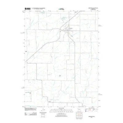
2012 Map of Jamesport
USGS Topo · Published 2012About this map
Jamesport anchors this northwestern Missouri landscape, serving as a hub for the surrounding agricultural community. The town's grid is flanked by the Jamesport Municipal Lake to the north and the winding course of Muddy Creek to the south. Further south, the small settlement of Carlow sits near the banks of the Grand River, illustrating the historic relationship between local commerce and the region's river systems.
Find a feature on this map
50 named features on this map. Tap any name to fly to it.
Don’t see what you’re looking for? This feature index may not catch every label — zoom into the map to look around manually.
Map Details
Editions of this 2012 Jamesport Map
This is the sole edition of this map. No revisions or reprints were ever made.
Other maps of this area

1921 · Chillicothe
USGS Topo · 1:62,500

1922 · Gallatin
USGS Topo · 1:62,500

1923 · Chillicothe
USGS Topo · 1:62,500

1925 · Gilman
USGS Topo · 1:62,500

1946 · Gilman
USGS Topo · 1:48,000

1948 · Gilman
USGS Topo · 1:62,500

1948 · Trenton
USGS Topo · 1:62,500

1953 · Moberly
USGS Topo · 1:250,000

1954 · Centerville
USGS Topo · 1:250,000

1954 · Moberly
USGS Topo · 1:250,000