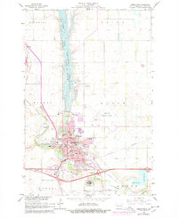
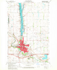
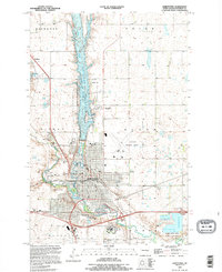
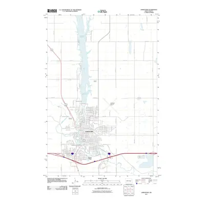
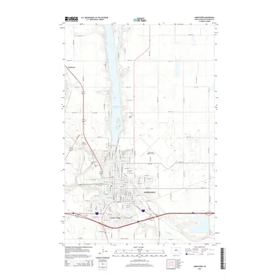
1966 Map of Jamestown
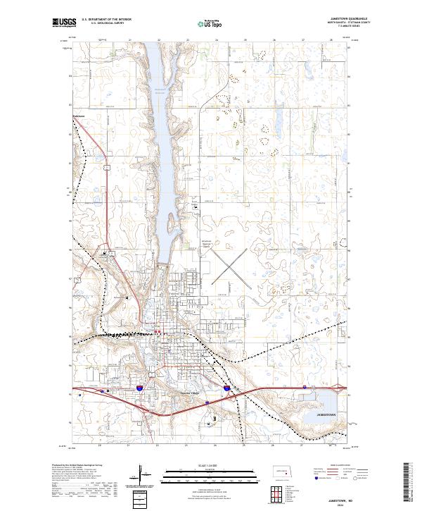
USGS Topo · Published 1978About this map
The James River corridor anchors this 1960s study of central North Dakota, dominated by the Jamestown Reservoir and the more recently developed Pipestem Lake. Within Jamestown, a dense concentration of civic and educational institutions is evident, including Jamestown College, St Johns Academy, and the sprawling State Hospital complex to the south. The map reflects a mid-century period of suburban expansion, highlighted by purple tinting that shows urban growth near the Shopping Center and new residential developments.
Find a feature on this map
53 named features on this map. Tap any name to fly to it.
Don’t see what you’re looking for? This feature index may not catch every label — zoom into the map to look around manually.
Map Details
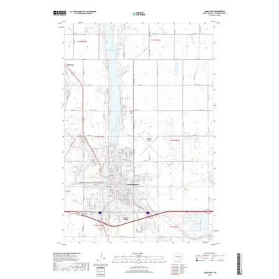
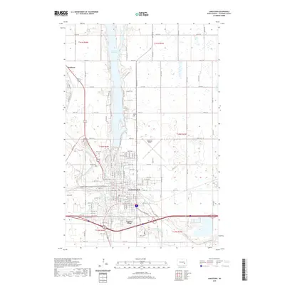
Editions of this 1966 Jamestown Map
2 editions found
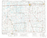
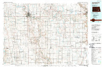
Historical Maps of Jamestown Through Time
12 maps found
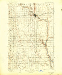
1896 Jamestown
Stutsman County, ND
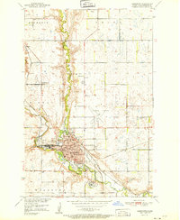
1951 Jamestown
Stutsman County, ND
1953 Jamestown
Stutsman County, ND

1956 Jamestown
Stutsman County, ND
1966 Jamestown
Stutsman County, ND
1986 Jamestown
Stutsman County, ND
1990 Jamestown
Stutsman County, ND
2011 Jamestown
Stutsman County, ND
2014 Jamestown
Stutsman County, ND
2018 Jamestown
Stutsman County, ND
2020 Jamestown
Stutsman County, ND
2024 Jamestown
Stutsman County, ND